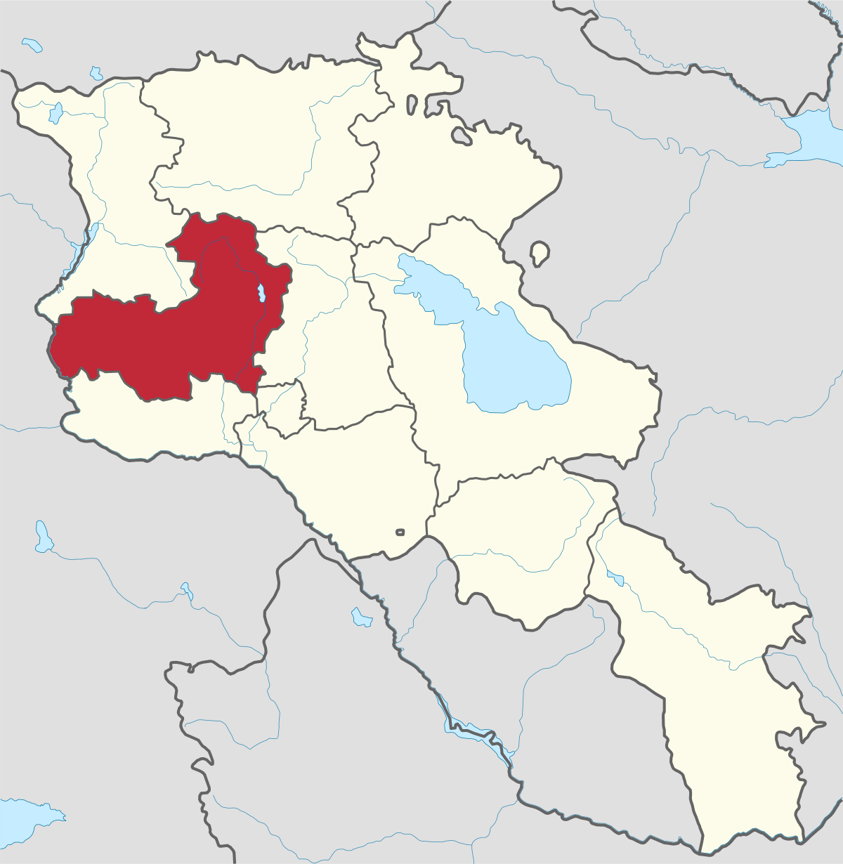
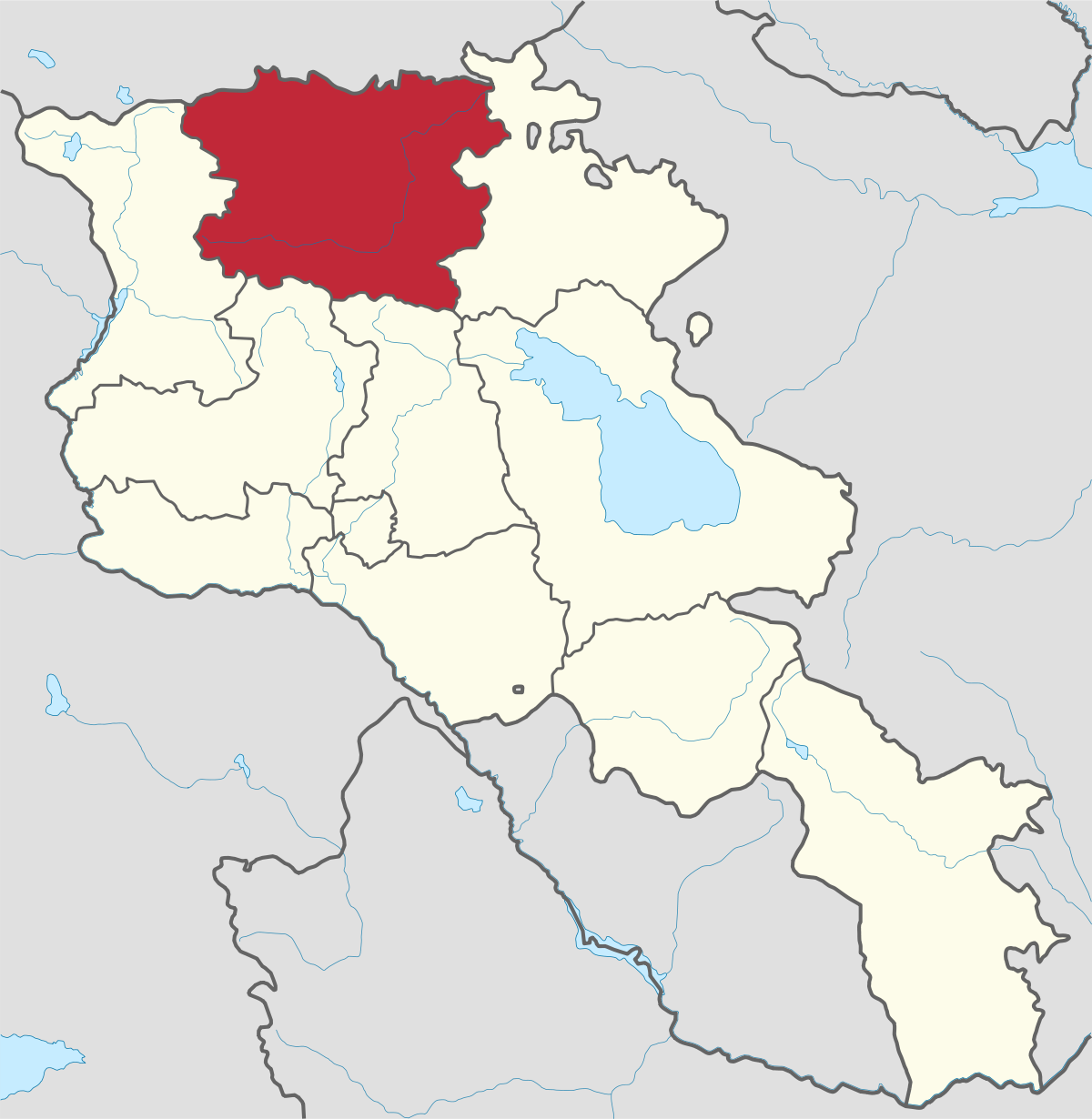
Aragatsotn Region
Aragatsotn is named after the massive mountain (4095m / 13,435 ft.) that hovers over the northern reaches of Armenia. This region is one of the...
Smbataberd Fortress
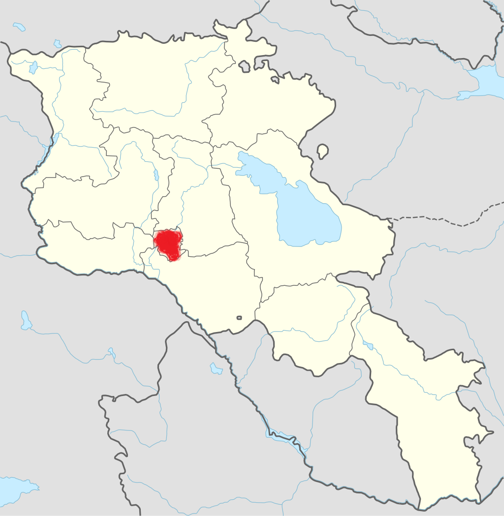
Smbataberd Fortress is mentioned in connection with the 5th century Vardanants War. It belonged to princes of Syunik in the 9th-11th centuries and was donated to Orbelian princes in the 13th century for the support during the liberation of Vayots Dzor from Seljuq Turks.
Smbataberd castle lies 750 m southeast of Artabuynk village. It is otherwise referred to as “Tsaghats Kar castle” because it faces the monastery. Built on a narrow mountain top, the castle is protected by the Yeghegis and Artabuynk canyons to the east, south and west.
It is guarded by a long stretch of wall (2-3 meters thick and 8-10 meters high) with a series of round towers.
The monument covers an area of 6.5 hectares. The Smbataberd Fortress is divided by walls on the northern and southern sides, where the ruins of the citadels, military barracks, dwellings and water-pools have been preserved. It had entrances from the north-east, north-west and north.
The building was extensively fortified in the 13th century, however it was ruined and abandoned in the 17th century following the Shah Abbas exile of Armenians and the Persian-Ottoman wars.
Name Origin
Ghevond Alishan states that the church was probably named after Smbat I Bagratuni (890-914).
Another viewpoint suggests that the castle was named after the 13th century famous political figure and Prince of Syunik, Smbat Orbelian. Stepanos Orbelian mentions Kapuyt Berd (Blue Fortress) as one of the strongest castles of the Vayots Dzor province, with which Smbataberd is assumed to be identical.

Aragatsotn is named after the massive mountain (4095m / 13,435 ft.) that hovers over the northern reaches of Armenia. This region is one of the...
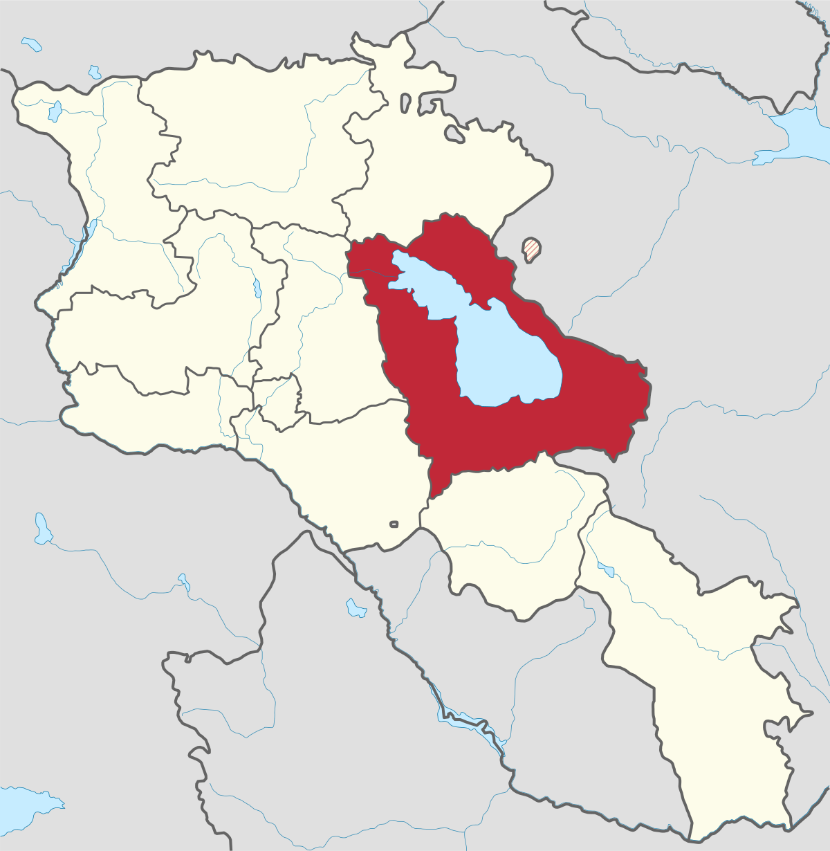
Ararat region is named after the biblical Mount Ararat which is mentioned in the Bible as a place where Noah’s ark has landed after the Great...
.png)
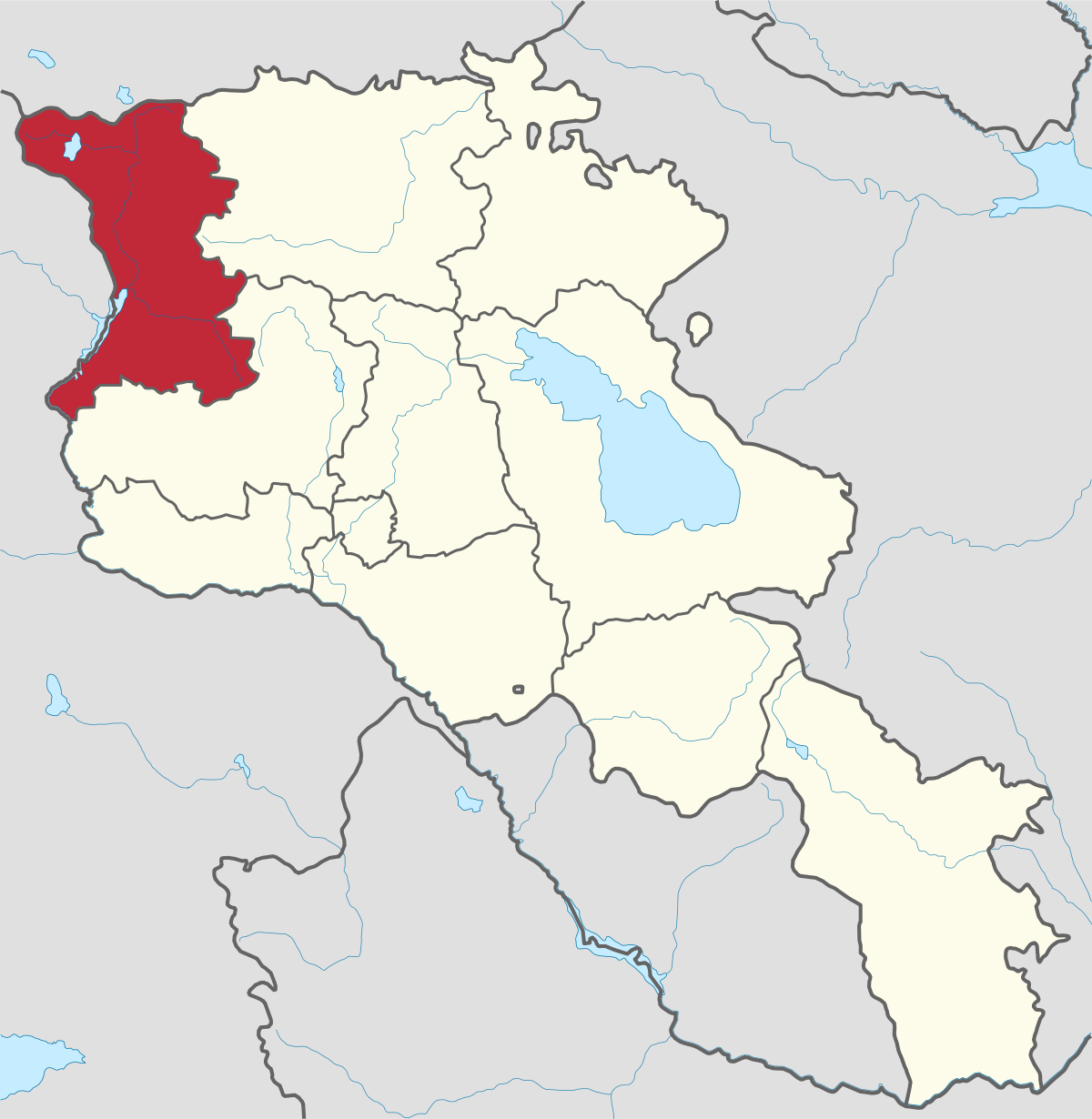
Armavir Region - Because of its Christian history the region is most famous for locals and Diaspora Armenians, who make pilgrimages to Armenia to...
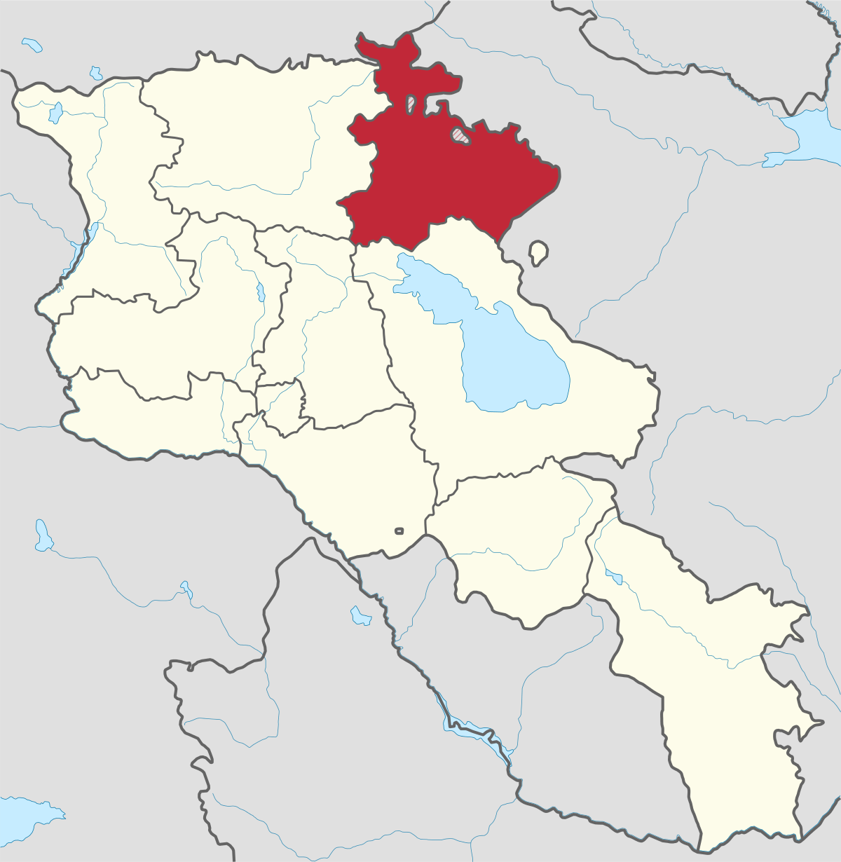
Gegharkunik ist die größte Region Armeniens, die an Aserbaidschan und die Shahumyan-Region der Republik Berg-Karabach grenzt. Ein Viertel der...
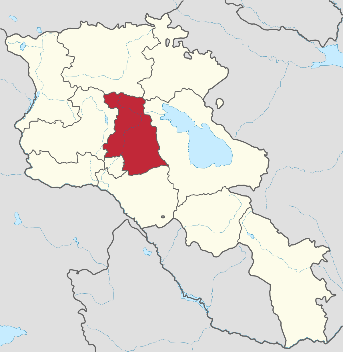
Kotayk region is located at the central part of the country and is home to many must-see sites in Armenia including the pagan Temple of Garni...
Lori region is in the northern part of Armenia, bordering on Georgia. It is considered Armenia’s greenest area, with more native forest land than...
Shirak region lies in the north-west of Armenia. It borders with Georgia and Turkey. Shirak region is mainly dominated by the Ashotsk Plateau and...
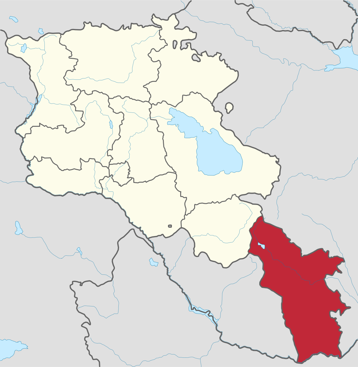
Syunik region- It is in the southern part of Armenia, bordering by Azerbaijan's Nakhchivan Autonomous Republic exclave, the de facto independent...
Tavush region lies in the Northeast of Armenia, bordering by Georgia and Azerbaijan. The territory is mainly mountainous and rocky hillsides...
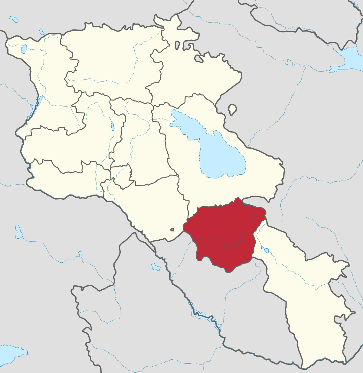
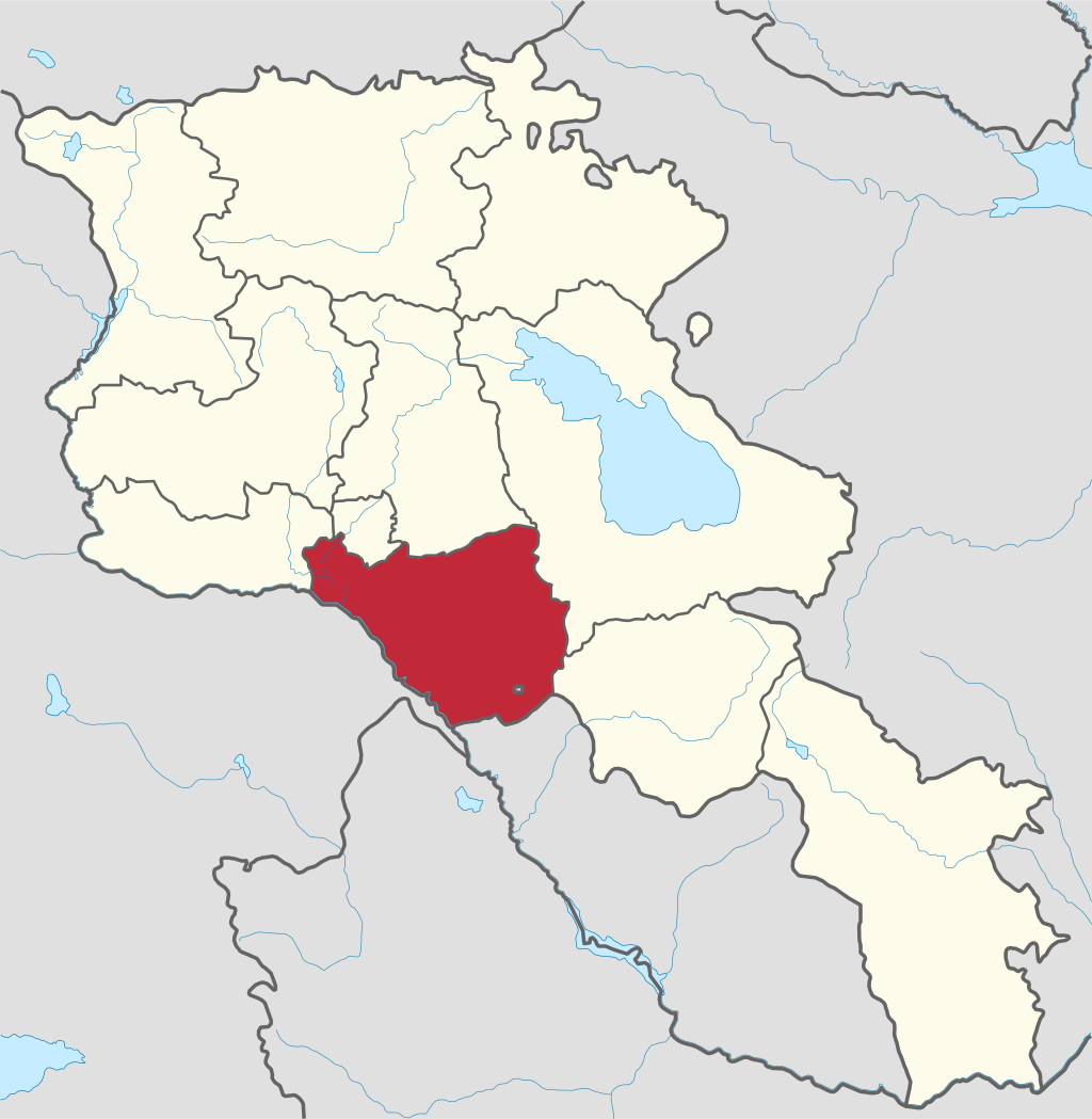
Vayots Dzor region is mainly a mountainous region at the southeastern end of the country, known with Jermuk Waterfall, Areni cave, Smbataberd...
Yerevan city – 2800 years old. Yerevan is the capital of the Republic of Armenia with more than 1 million people. It is an amazing city with view...
800
149
1476
32