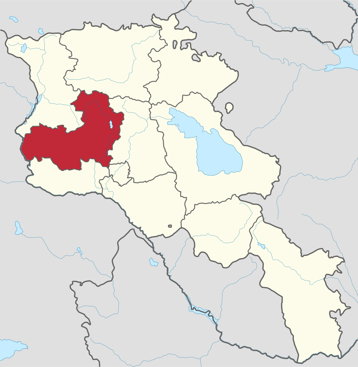
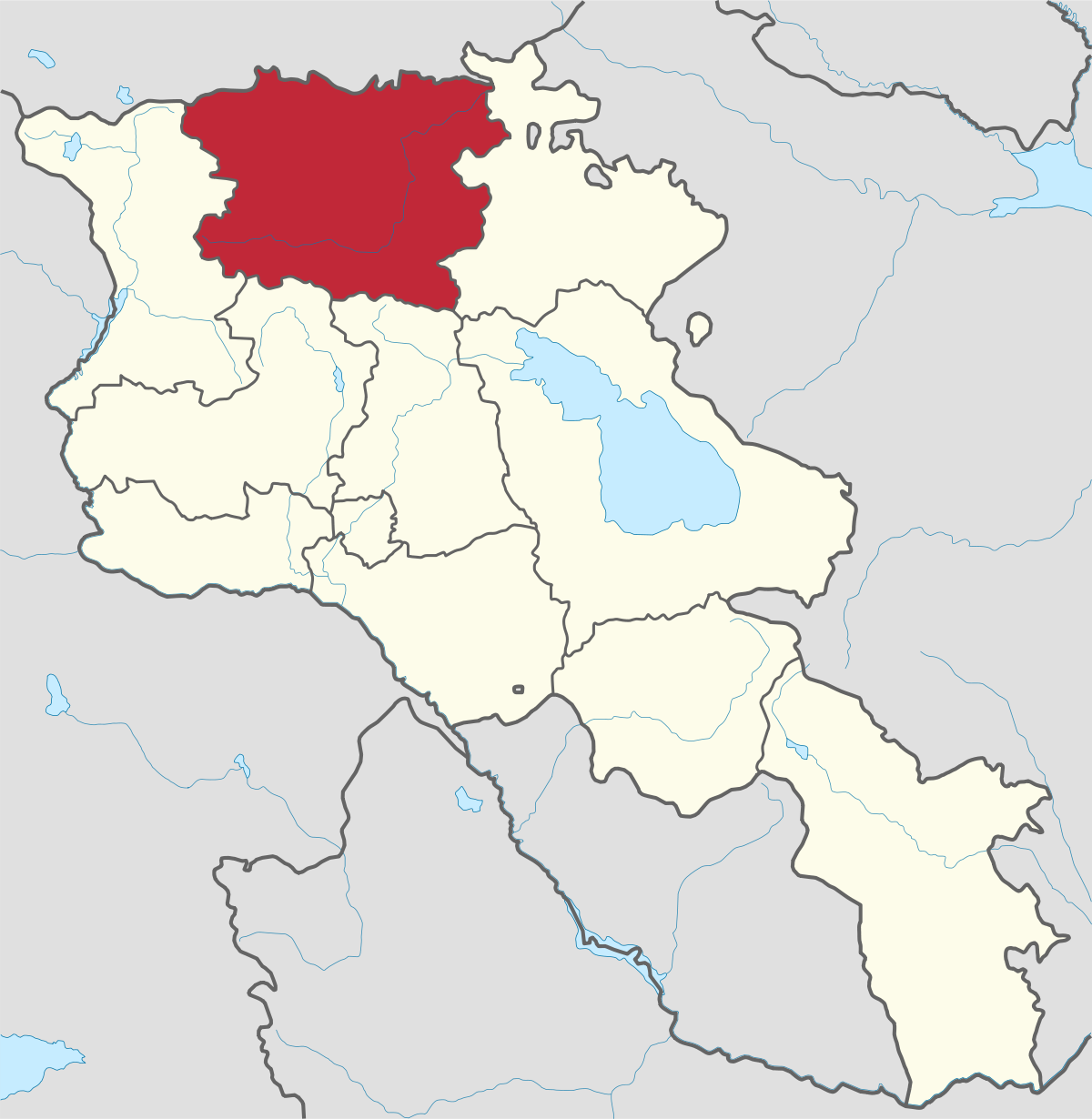
Aragatsotn Region
Aragatsotn is named after the massive mountain (4095m / 13,435 ft.) that hovers over the northern reaches of Armenia. This region is one of the...
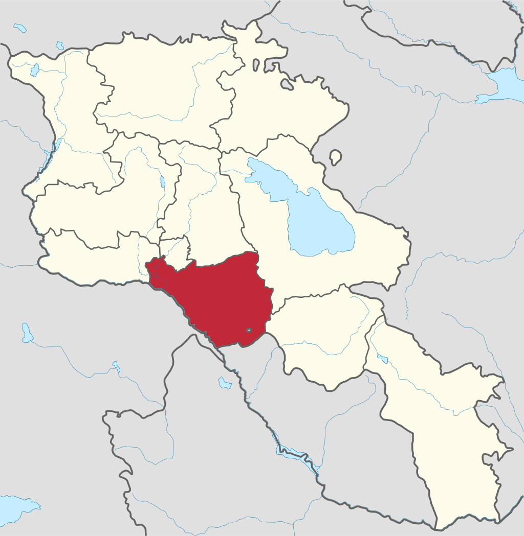
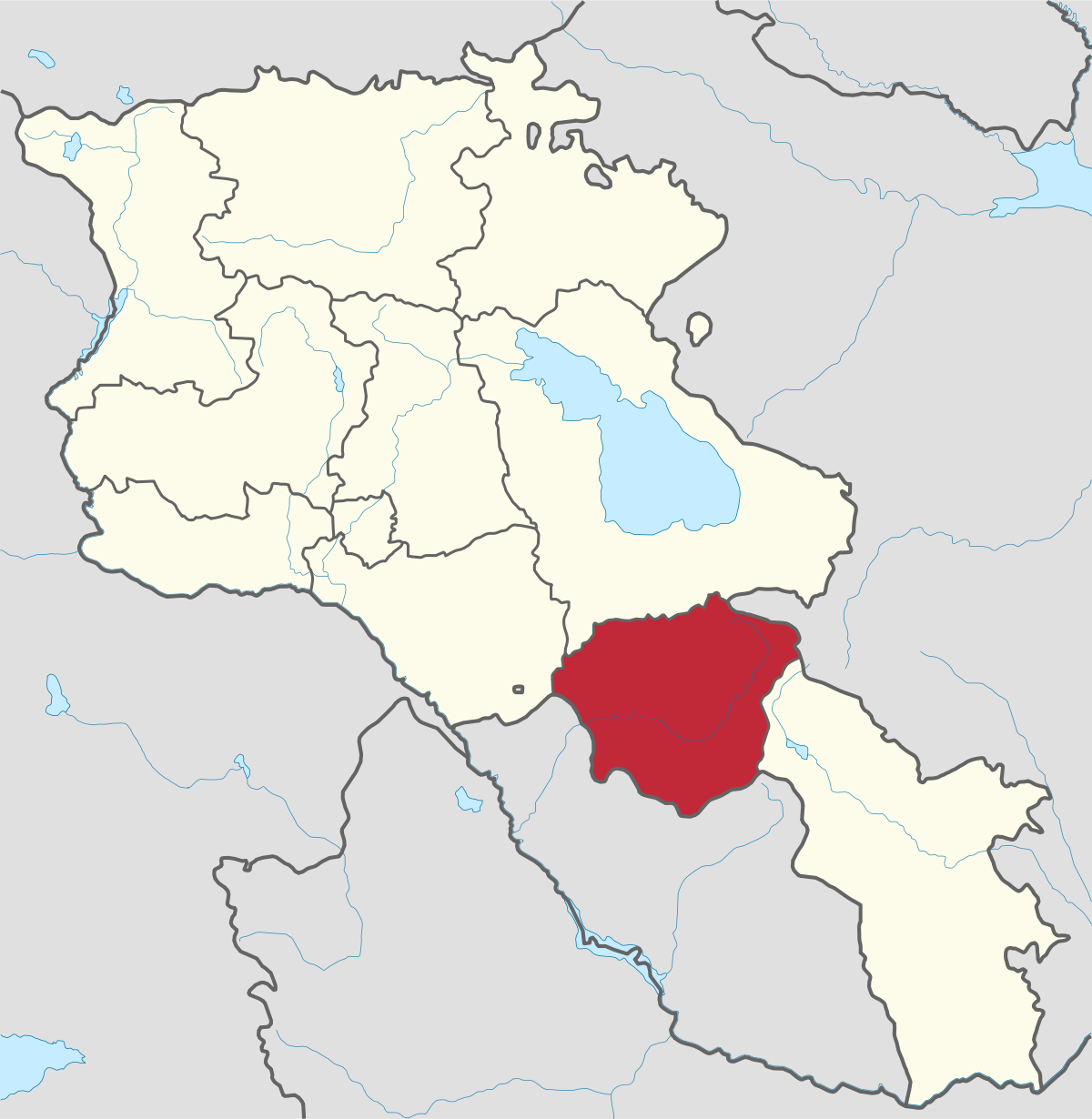
Tsaghkadzor City
Territory: 5,300 km2
Population: 1,618 Persons
Distance from capital/Yerevan: 55 km
Height of above sea level: 1,850 m
Tsaghkadzor is one of the most popular health resorts in Armenia, located north of the capital Yerevan in the Kotayk Province.
Tsaghkadzor literally means valley of flowers or flower canyon in Armenian. The name of Tsaghkadzor is associated with the name of the nearby Tsaghkunyats Mountains, located to the west of the town.
The infrastructure of tourism is highly developed in Tsaghkadzor, with many luxurious hotels, resorts and amusement facilities.
Ski Resort
Tsaghkadzor ski resort is located just above the town, at a height of 1750 meters above sea level. There were initially 3 consecutive lifts stretching from the foot of the mountain at a height of 1969 meters above sea level, up till the mountain peak at 2819 meters high, with the 1st and 2nd lifts ending at 2234 meters and 2465 meters high, respectively. In 2006 a 4th lift was added, stretching from the end of the first stage towards an opposite hilltop, thus adding two trails, both leading down to the foot of the slopes.
Apart from the lifts the resort offers ski and snowboard rental as well as skiing instructors. The skiing season in Tsaghkadzor normally starts in December and stretches well into March with the top slopes often fit for skiing in April.
Cultural sights of great interest are the followings:
The Kecharis Monastery, which one of the significant religious complexes and one of the well-preserved medieval architectural samples of the Armenia. It was founded at the beginning of the 11th century, consisted of 4 separate adjacent churches. The House-museum of Brothers Orbeli, which is dedicated to the Armenian scientists Ruben, Levon and Joseph Orbeli who were native of Tsaghkadzor.

Aragatsotn is named after the massive mountain (4095m / 13,435 ft.) that hovers over the northern reaches of Armenia. This region is one of the...
Ararat region is named after the biblical Mount Ararat which is mentioned in the Bible as a place where Noah’s ark has landed after the Great...
.png)
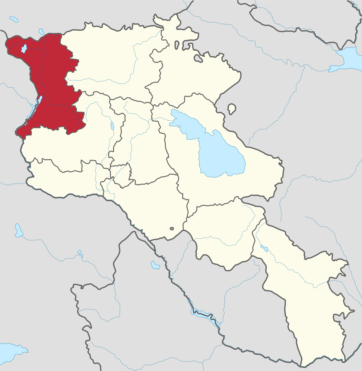
Armavir Region - Because of its Christian history the region is most famous for locals and Diaspora Armenians, who make pilgrimages to Armenia to...
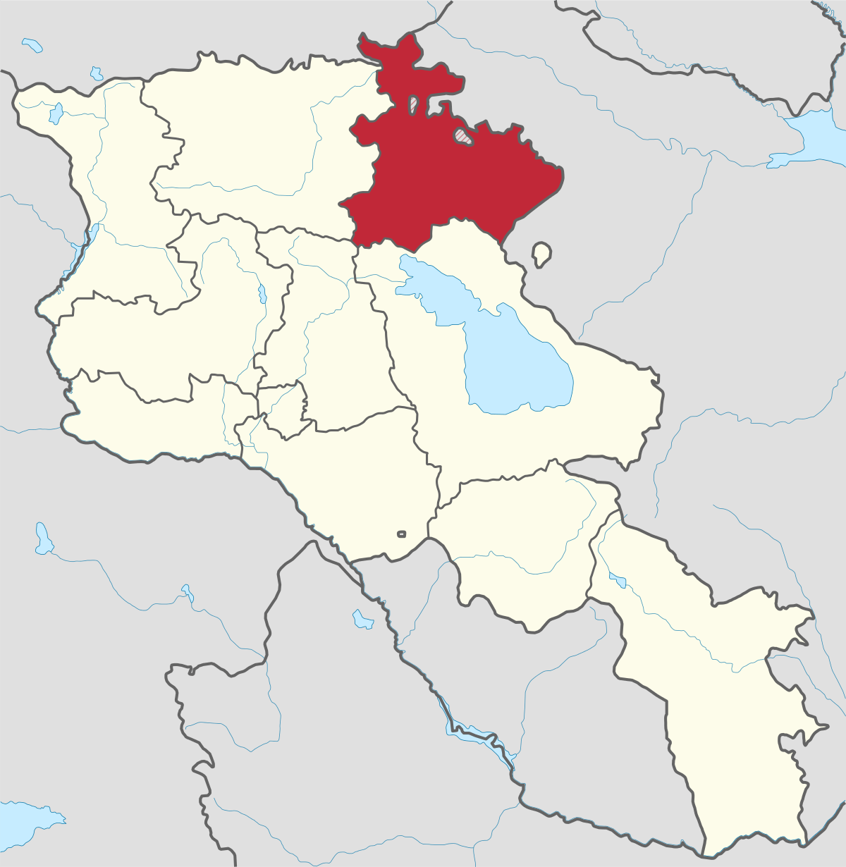
Gegharkunik ist die größte Region Armeniens, die an Aserbaidschan und die Shahumyan-Region der Republik Berg-Karabach grenzt. Ein Viertel der...
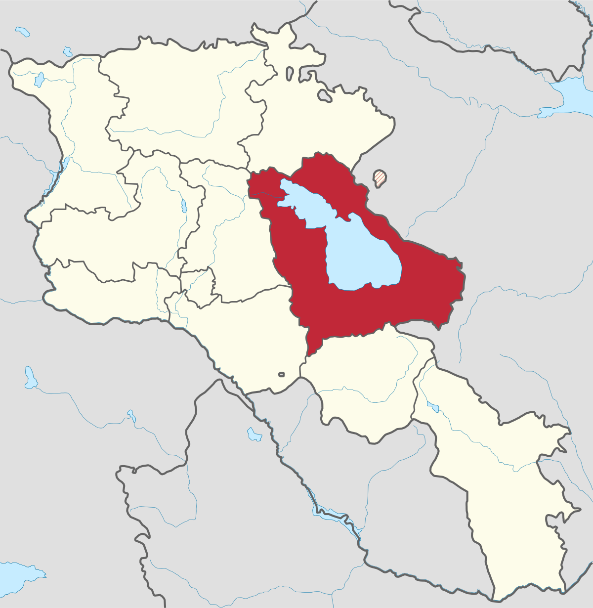
Kotayk region is located at the central part of the country and is home to many must-see sites in Armenia including the pagan Temple of Garni...
Lori region is in the northern part of Armenia, bordering on Georgia. It is considered Armenia’s greenest area, with more native forest land than...
Shirak region lies in the north-west of Armenia. It borders with Georgia and Turkey. Shirak region is mainly dominated by the Ashotsk Plateau and...
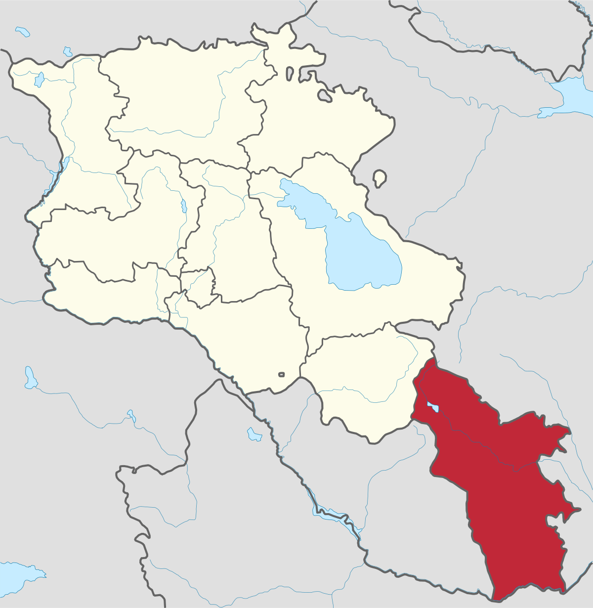
Syunik region- It is in the southern part of Armenia, bordering by Azerbaijan's Nakhchivan Autonomous Republic exclave, the de facto independent...
Tavush region lies in the Northeast of Armenia, bordering by Georgia and Azerbaijan. The territory is mainly mountainous and rocky hillsides...
Vayots Dzor region is mainly a mountainous region at the southeastern end of the country, known with Jermuk Waterfall, Areni cave, Smbataberd...
Yerevan city – 2800 years old. Yerevan is the capital of the Republic of Armenia with more than 1 million people. It is an amazing city with view...
800
149
1476
32