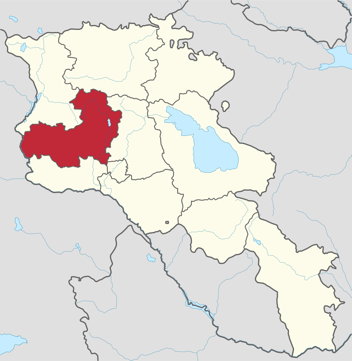
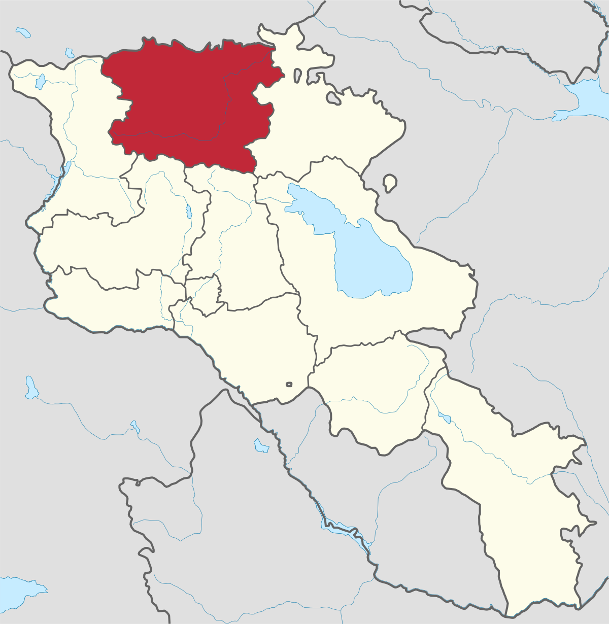
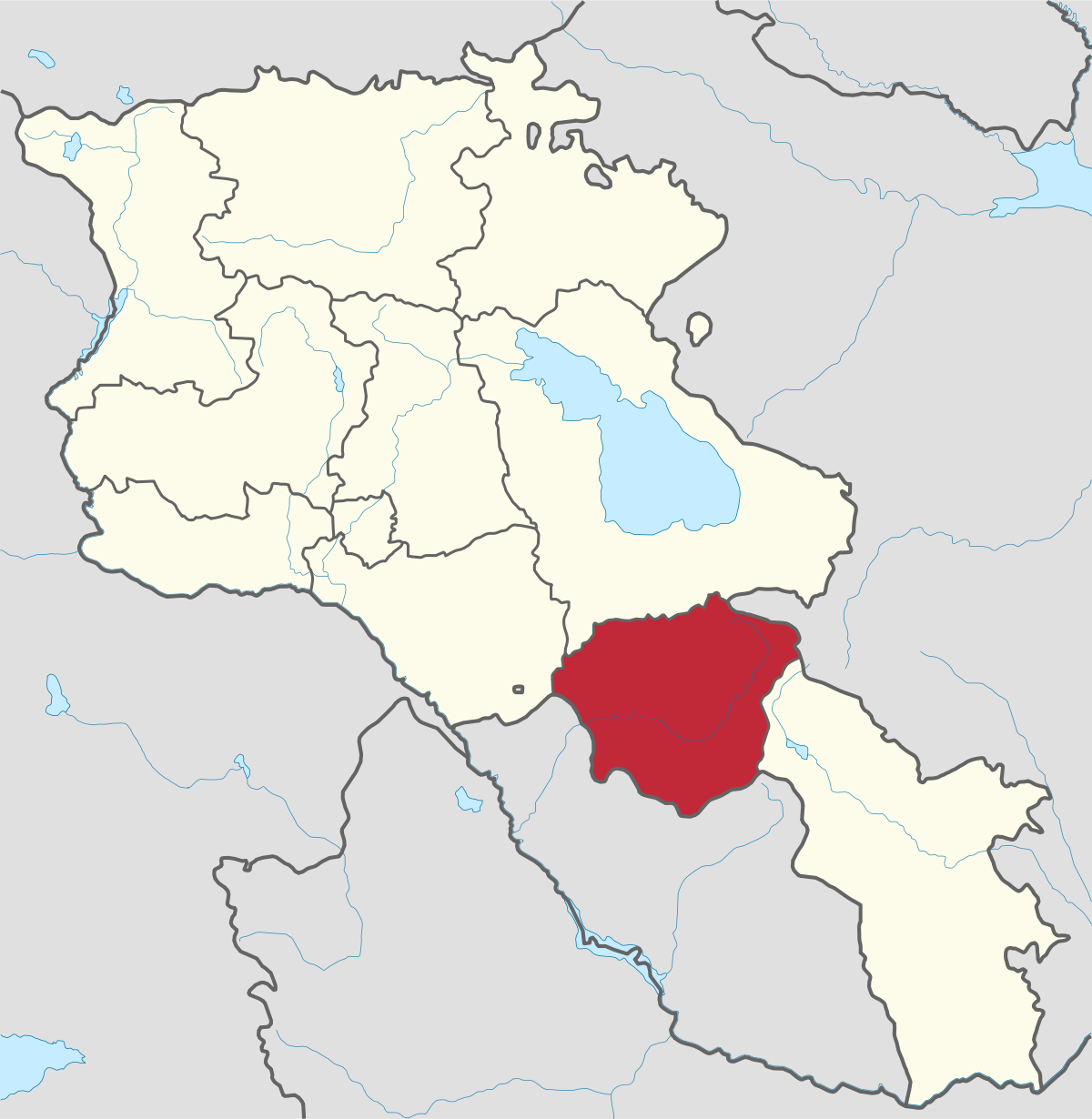
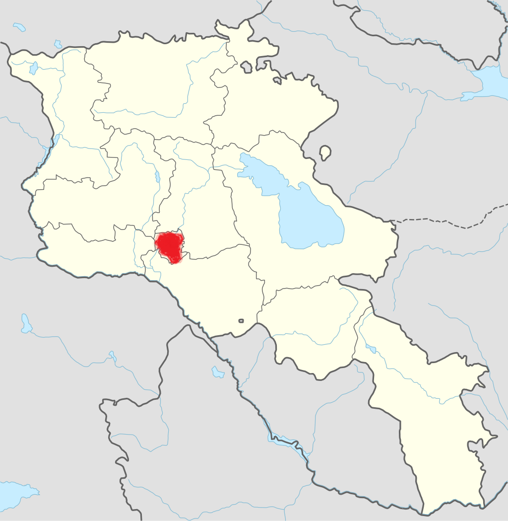
Aragatsotn Region
Aragatsotn is named after the massive mountain (4095m / 13,435 ft.) that hovers over the northern reaches of Armenia. This region is one of the...
Mount Ughtasar
Ughtasar (Petroglyph field) is located near to Sisian City and can be reached by Jeep only in good weather. The mountain is so named for its double peaks resembling camel humps (“Ught” is Armenian for camel). This mount is known as an important archeological site encompassing approximately 2000 petroglyphs dating back to the Paleolithic era.
Petroglyphs of Ughtasar
The petroglyphs of Ughtasar were engraved by stone tools on black and gray stones having volcanic origin. The majority of them are memorials commemorating the life and heroic stories of the dead. Especially rich are the petroglyphs depicting plants, flowers, animals, humans and geometric images. The simple petroglyphs tell about the legends, the customs of the tribes, about feelings, beliefs, victories and losses of the ancestors and so on. The majority of those petroglyphs depict humans in hunting, cultivating, competing, fighting and dancing scenes.
There are also images of various animals, among them goats, moufflon, deer, boars, wolves, dogs, bears, tigers and so on. Horned cattle, particularly sheep and goats, prevail in the animal petroglyphs.
Interestingly, the petroglyphs of Ughtasar greatly lack bird scenes. But there are various cosmic symbols, including the zodiacal sign of Aries and elementary calendars. They are engraved in the form of wheels and/or the time is mentioned by a cross and four circles made for the four seasons. Geographic elements, like rivers and lakes, and astronomical phenomena, like the Sun and the Moon, stars and lightning were also carved.
Being one of the most interesting destinations Ughtasar cannot brag about its huge numbers of visitors. Perhaps it’s because of its remote location, or because it has specific months to be visited to be fully explored, but if you are for the extraordinary, then don’t think twice; simply go for it.

Aragatsotn is named after the massive mountain (4095m / 13,435 ft.) that hovers over the northern reaches of Armenia. This region is one of the...
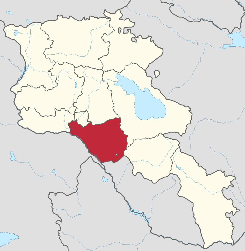
Ararat region is named after the biblical Mount Ararat which is mentioned in the Bible as a place where Noah’s ark has landed after the Great...
.png)
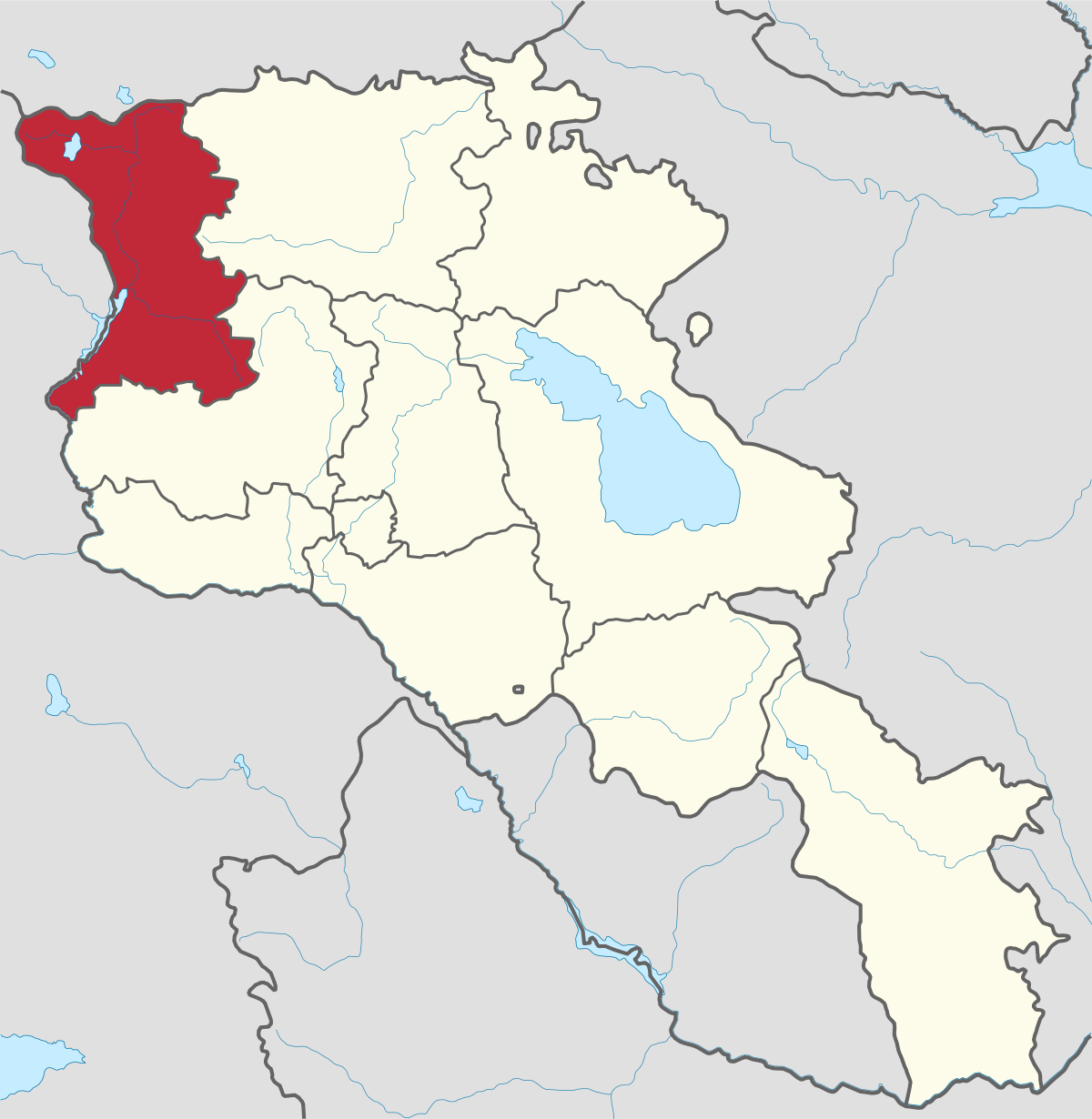
Armavir Region - Because of its Christian history the region is most famous for locals and Diaspora Armenians, who make pilgrimages to Armenia to...
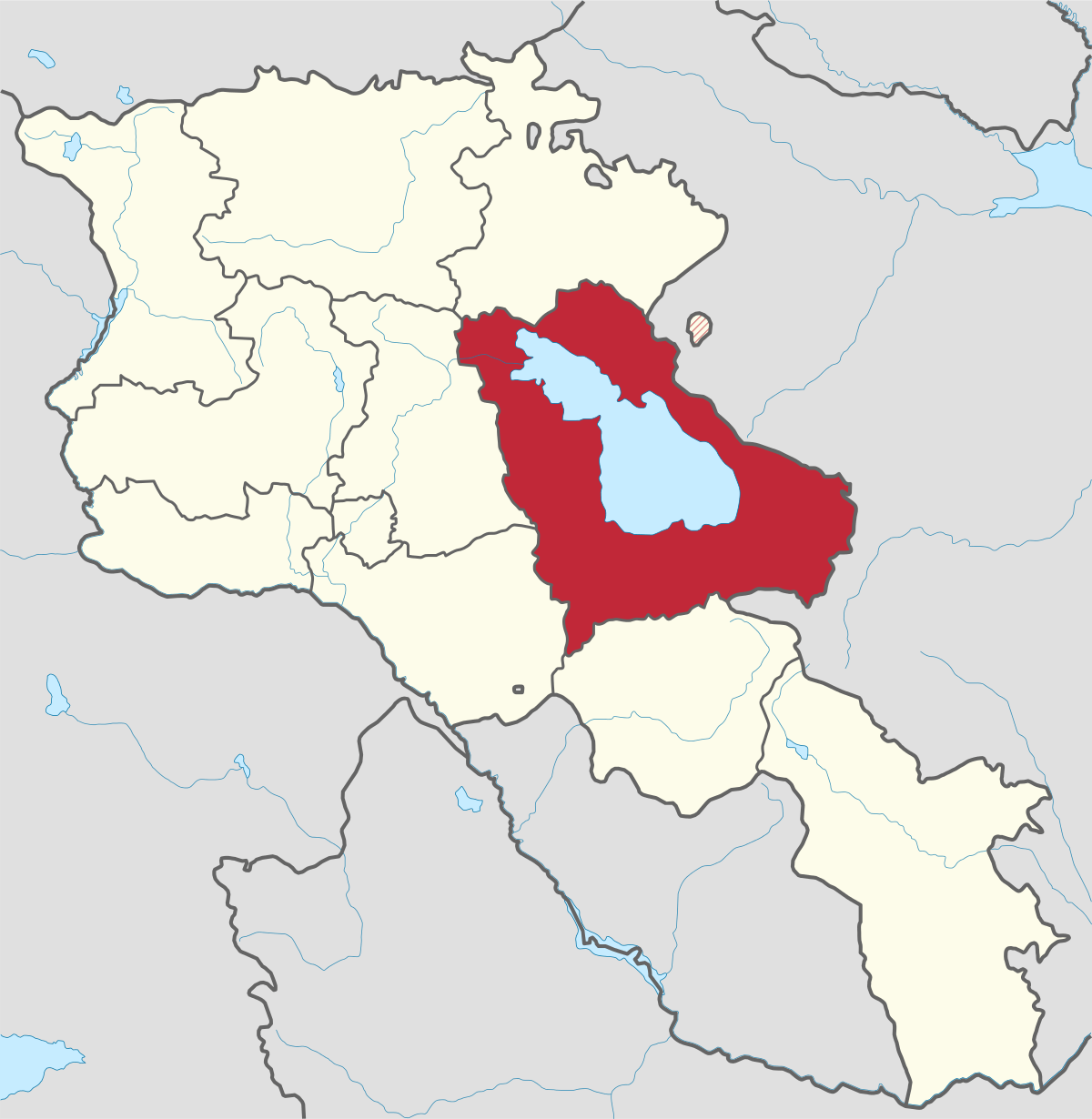
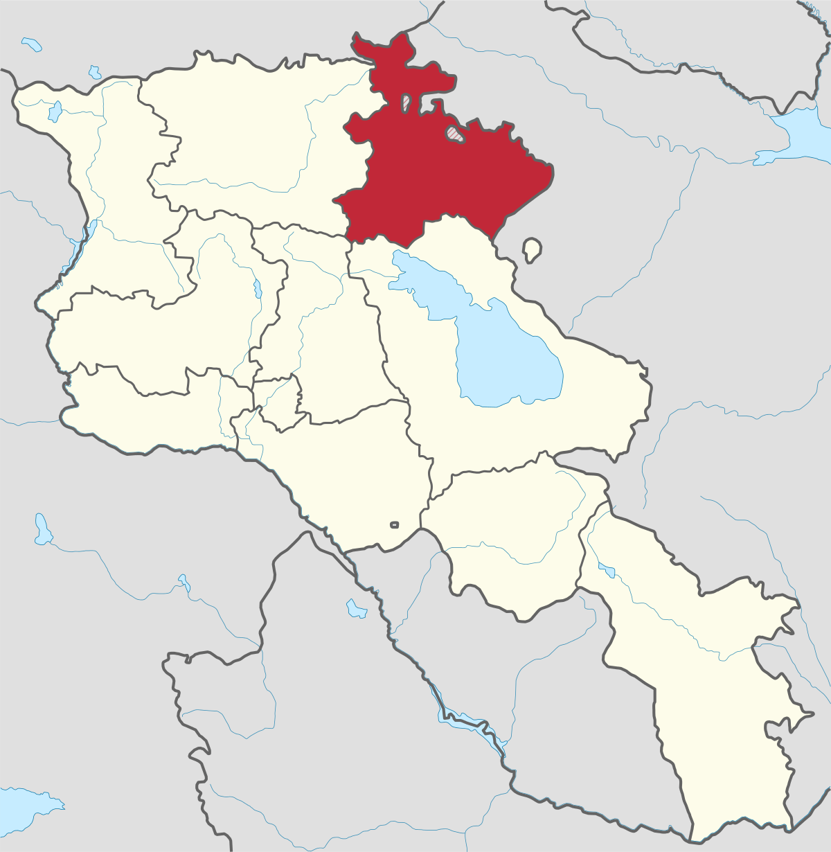
Gegharkunik ist die größte Region Armeniens, die an Aserbaidschan und die Shahumyan-Region der Republik Berg-Karabach grenzt. Ein Viertel der...
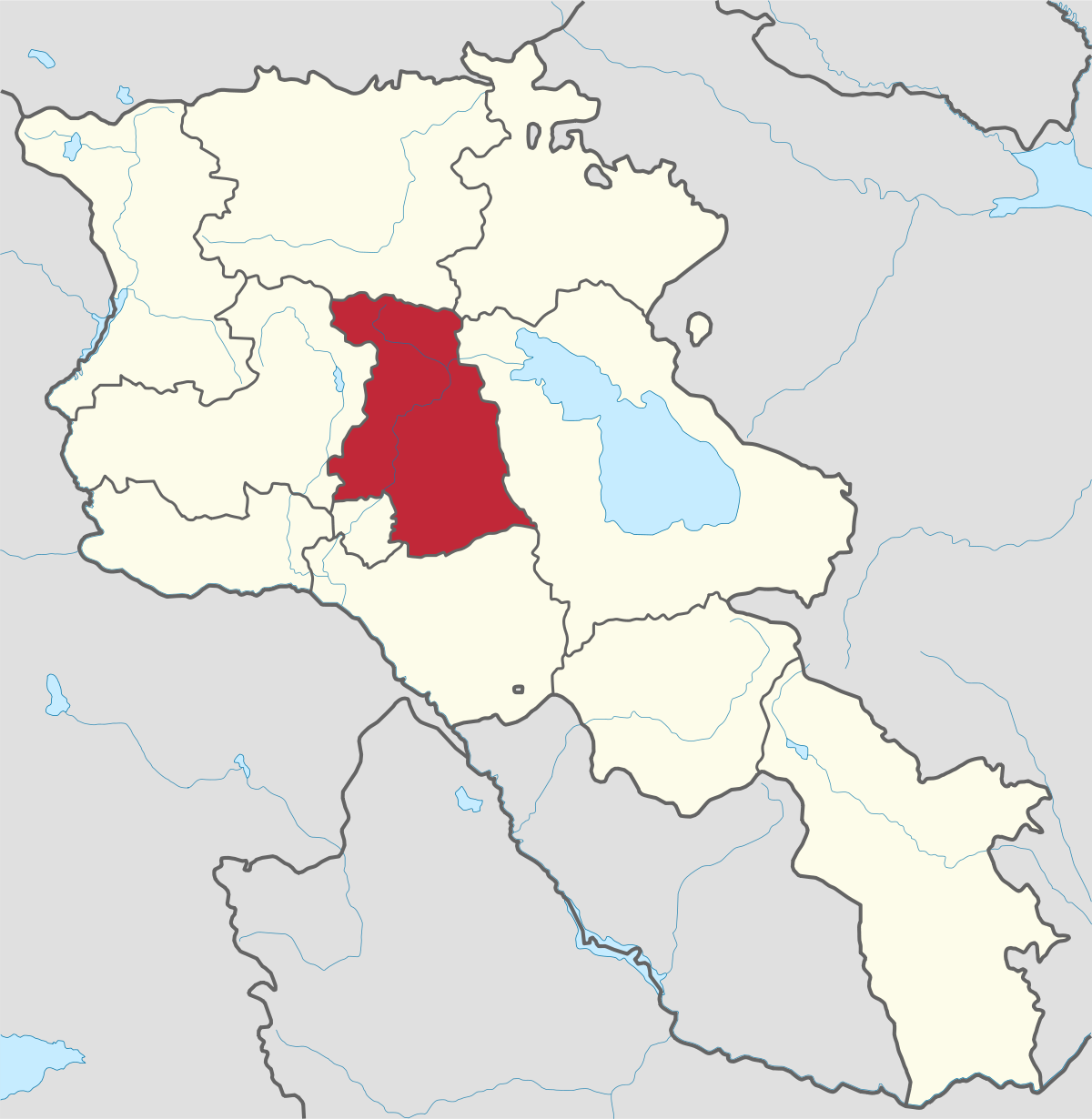
Kotayk region is located at the central part of the country and is home to many must-see sites in Armenia including the pagan Temple of Garni...
Lori region is in the northern part of Armenia, bordering on Georgia. It is considered Armenia’s greenest area, with more native forest land than...
Shirak region lies in the north-west of Armenia. It borders with Georgia and Turkey. Shirak region is mainly dominated by the Ashotsk Plateau and...
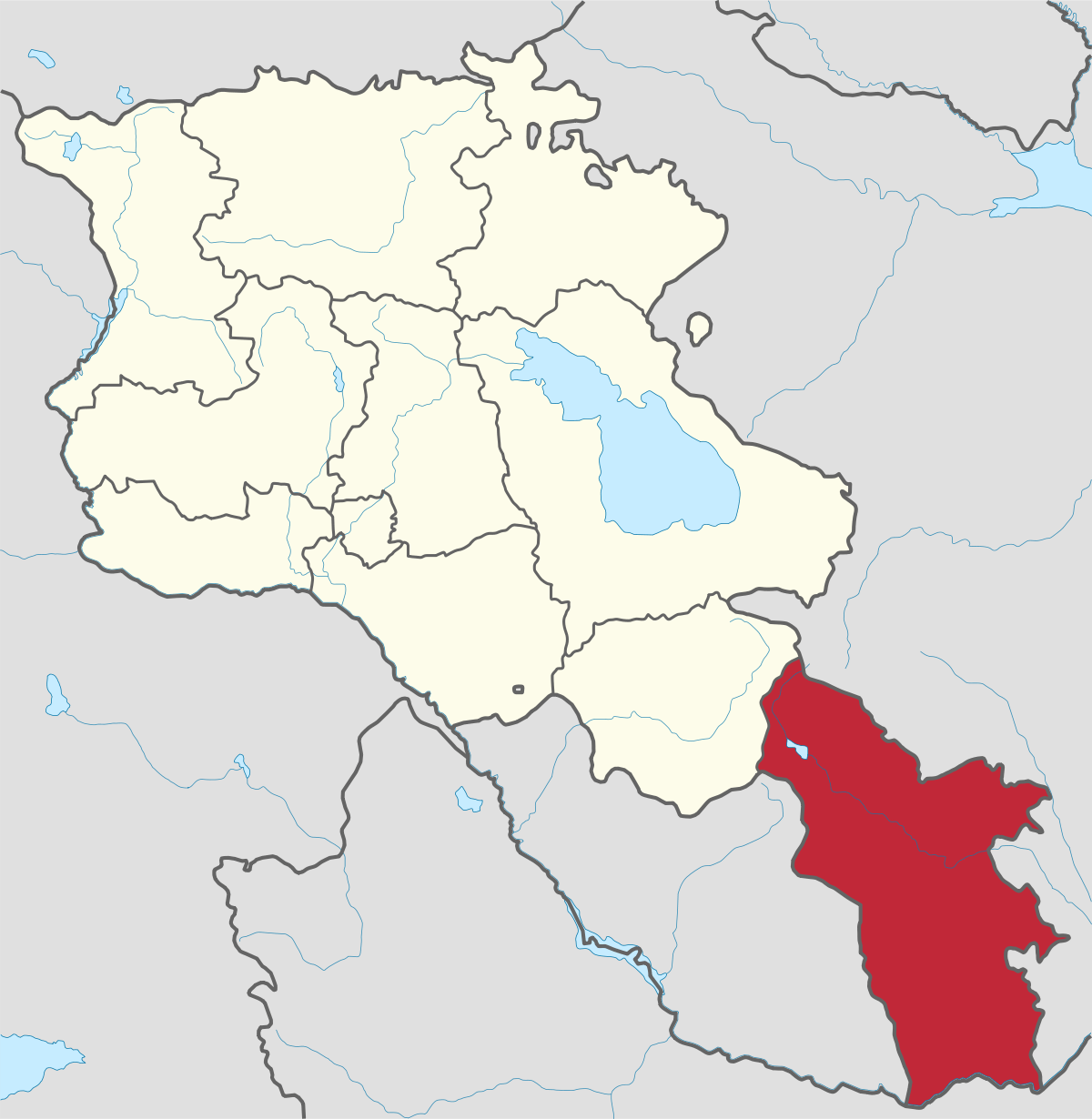
Syunik region- It is in the southern part of Armenia, bordering by Azerbaijan's Nakhchivan Autonomous Republic exclave, the de facto independent...
Tavush region lies in the Northeast of Armenia, bordering by Georgia and Azerbaijan. The territory is mainly mountainous and rocky hillsides...
Vayots Dzor region is mainly a mountainous region at the southeastern end of the country, known with Jermuk Waterfall, Areni cave, Smbataberd...
Yerevan city – 2800 years old. Yerevan is the capital of the Republic of Armenia with more than 1 million people. It is an amazing city with view...
800
149
1476
32