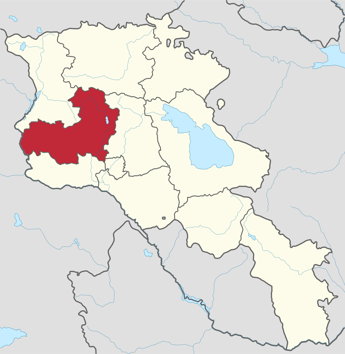
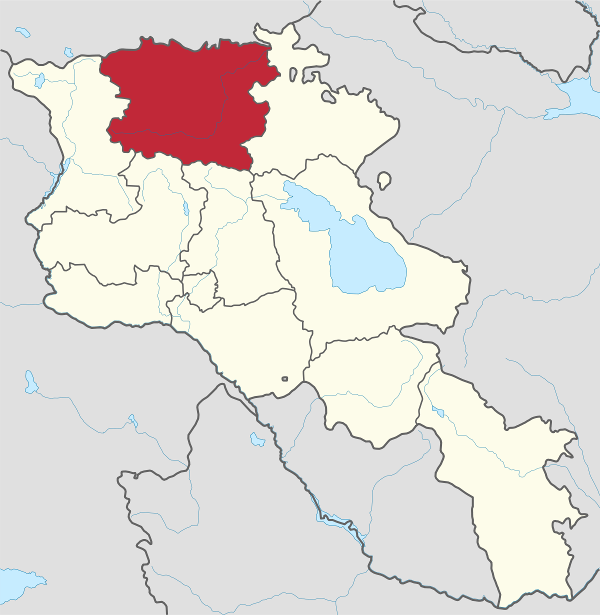
Aragatsotn Region
Aragatsotn is named after the massive mountain (4095m / 13,435 ft.) that hovers over the northern reaches of Armenia. This region is one of the...
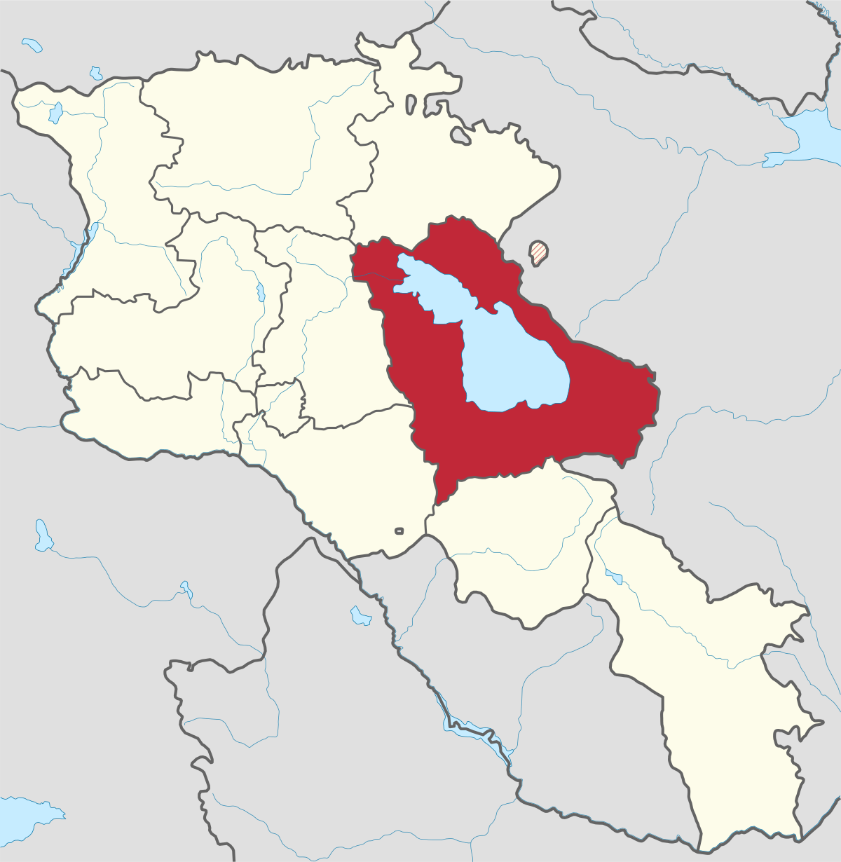
Lake Sevan
This “Blue Pearl” is a unique reservoir of freshwater both for Armenia and the Transcaucasia, and is the world’s second largest alpine lake, ca. 2000 meter above sea level.
The total surface area of its basin is about 5,000 km2, which makes up ca.5% of Armenia's territory. The lake spreads its waters along the base of the lofty Geghama Mountains bordered by Sevana, Vardenis, and Areguni chains. A total of 28 rivers flow into Lake Sevan and only the Hrazdan River flows out.
Exploitation of Sevan Lake in the Soviet period
Sevan was heavily exploited for irrigation of the Ararat plain and hydroelectric power generation during the Soviet period. Consequently, its water level decreased by around 20m and its volume reduced by more than 40%. 2 underground tunnels were later built to divert water from highland rivers, which halted its decline and its level began rising. Before human intervention dramatically changed the lake's ecosystem, the lake was 95m deep, covered an area of 1,416 km2 (5% of Armenia's entire area).
Sevan National Park
In 1978 this natural heritage was assigned the status of National Park to protect the fresh water reserves, fish stock, bird assemblages and historical-architectural complexes, and to regulate tourism and recreation activities.
Gull Island
The area has also been declared a Ramsar site and recognized as a wetland of international importance. Today, Lake Sevan and its surrounding wetlands serve as a stopover point for many migratory waterbirds and shorebirds from their lengthy journey during spring and fall migration.
Over 260 bird species have been observed in the area since the early 20th century. The Lake Sevan National Park incorporates a number of strict reserves and reservations. Norashen Reserve was established to protect a unique and well-known breeding ground of Armenian Gulls (Larus armenicus) - ‘Gull Island’.


Aragatsotn is named after the massive mountain (4095m / 13,435 ft.) that hovers over the northern reaches of Armenia. This region is one of the...
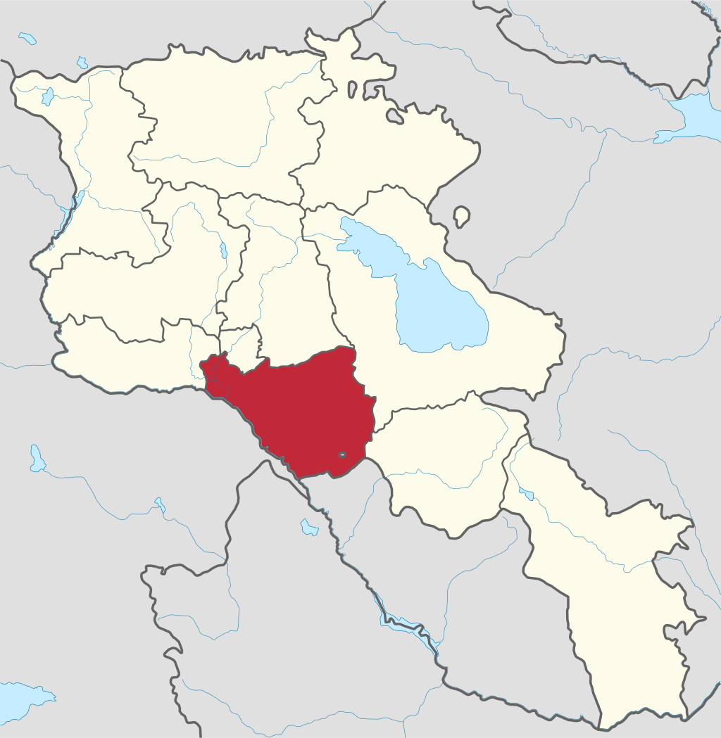
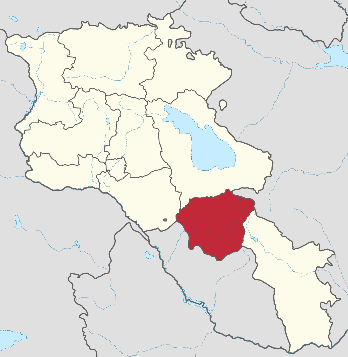
Ararat region is named after the biblical Mount Ararat which is mentioned in the Bible as a place where Noah’s ark has landed after the Great...
.png)
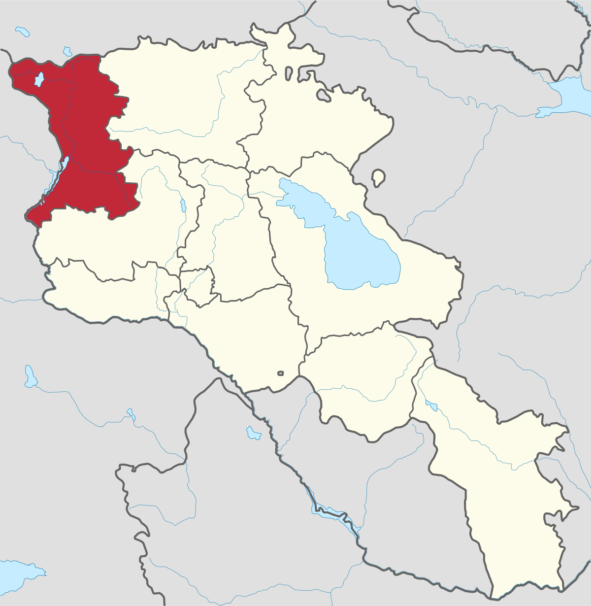
Armavir Region - Because of its Christian history the region is most famous for locals and Diaspora Armenians, who make pilgrimages to Armenia to...
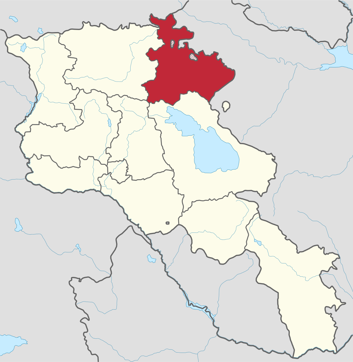
Gegharkunik ist die größte Region Armeniens, die an Aserbaidschan und die Shahumyan-Region der Republik Berg-Karabach grenzt. Ein Viertel der...
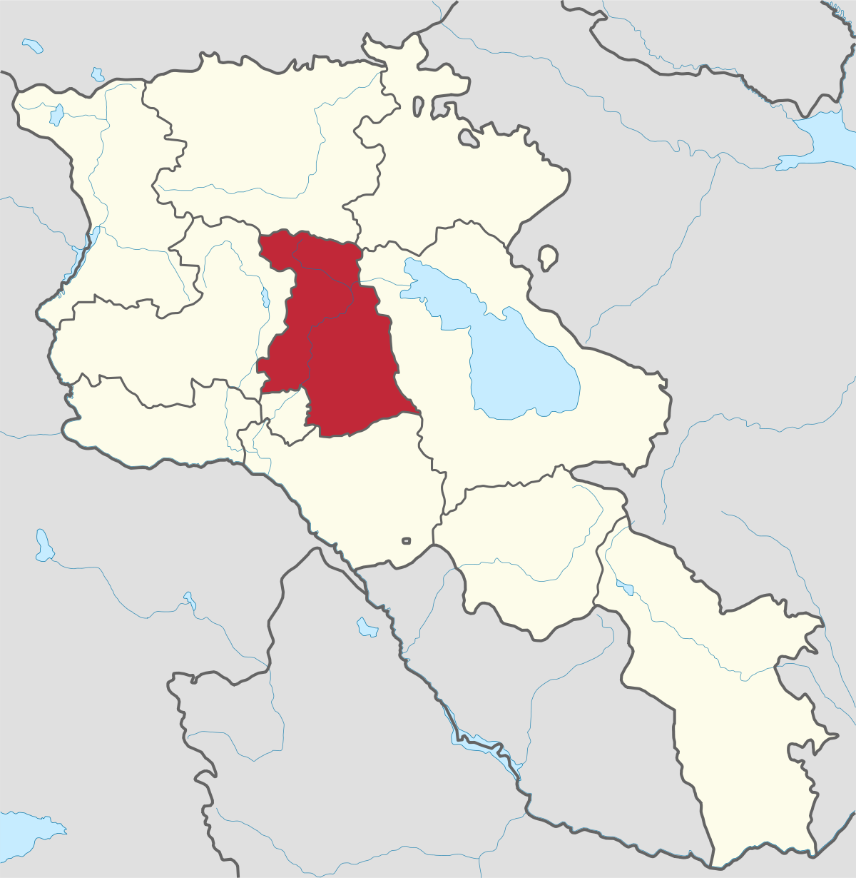
Kotayk region is located at the central part of the country and is home to many must-see sites in Armenia including the pagan Temple of Garni...
Lori region is in the northern part of Armenia, bordering on Georgia. It is considered Armenia’s greenest area, with more native forest land than...
Shirak region lies in the north-west of Armenia. It borders with Georgia and Turkey. Shirak region is mainly dominated by the Ashotsk Plateau and...
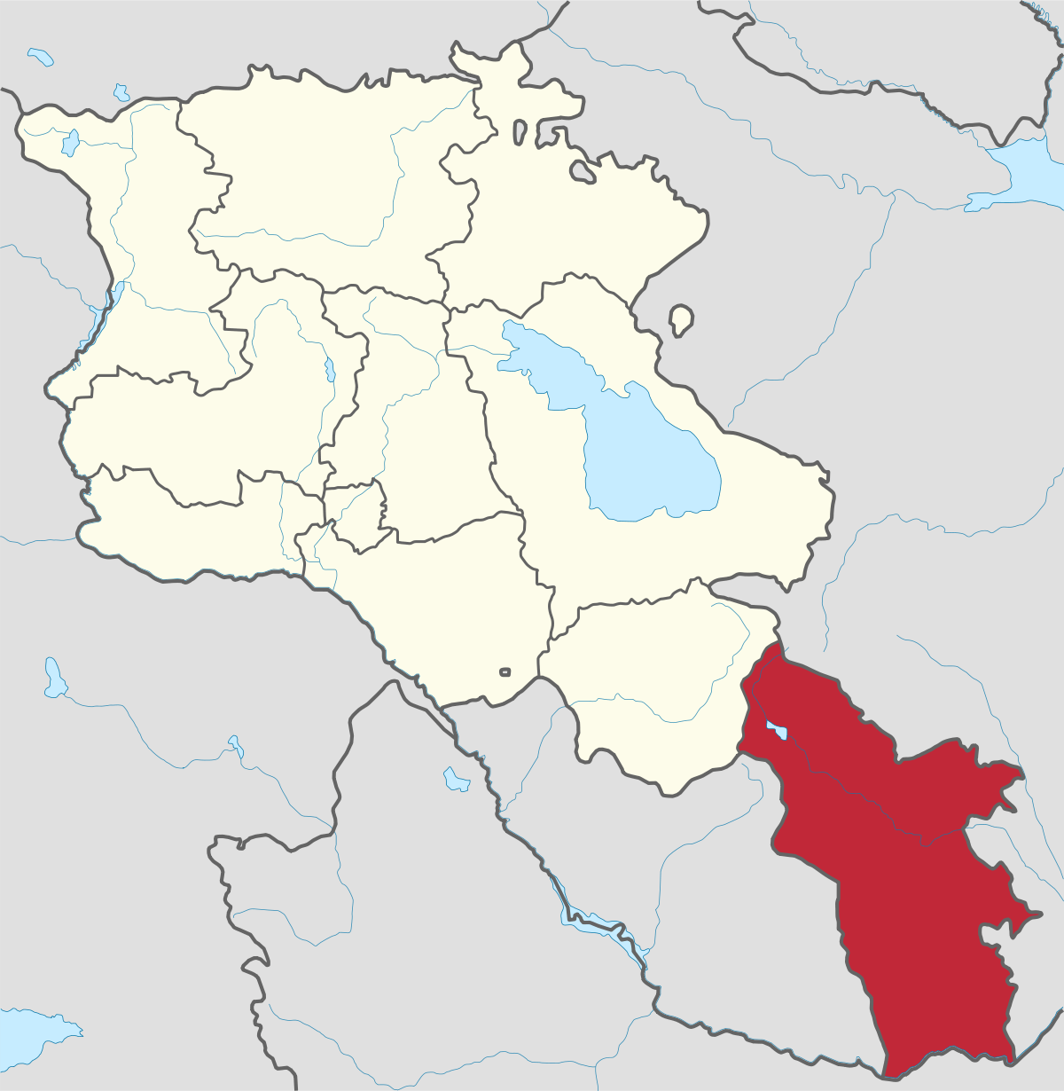
Syunik region- It is in the southern part of Armenia, bordering by Azerbaijan's Nakhchivan Autonomous Republic exclave, the de facto independent...
Tavush region lies in the Northeast of Armenia, bordering by Georgia and Azerbaijan. The territory is mainly mountainous and rocky hillsides...
Vayots Dzor region is mainly a mountainous region at the southeastern end of the country, known with Jermuk Waterfall, Areni cave, Smbataberd...
Yerevan city – 2800 years old. Yerevan is the capital of the Republic of Armenia with more than 1 million people. It is an amazing city with view...
800
149
1476
32