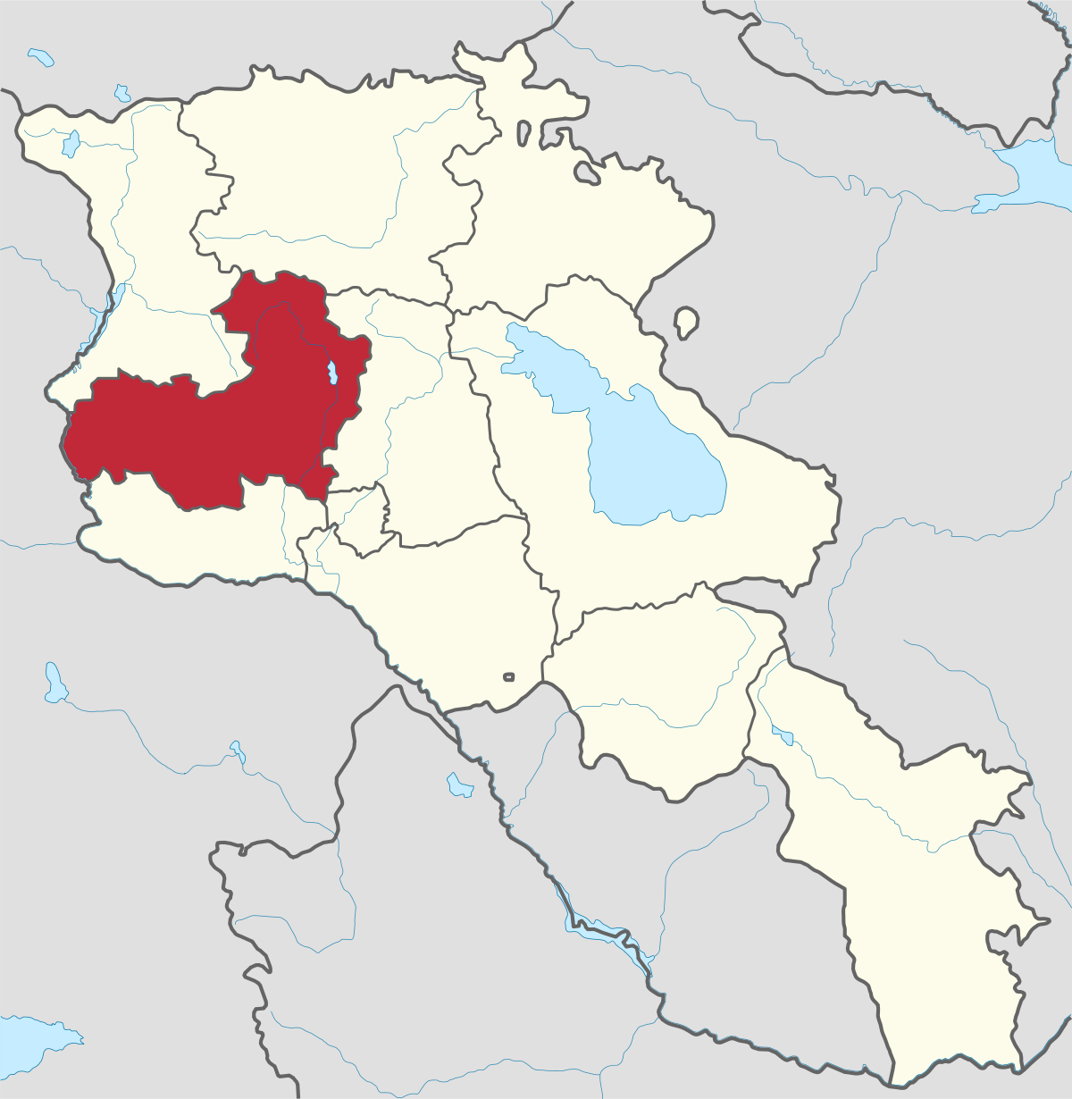
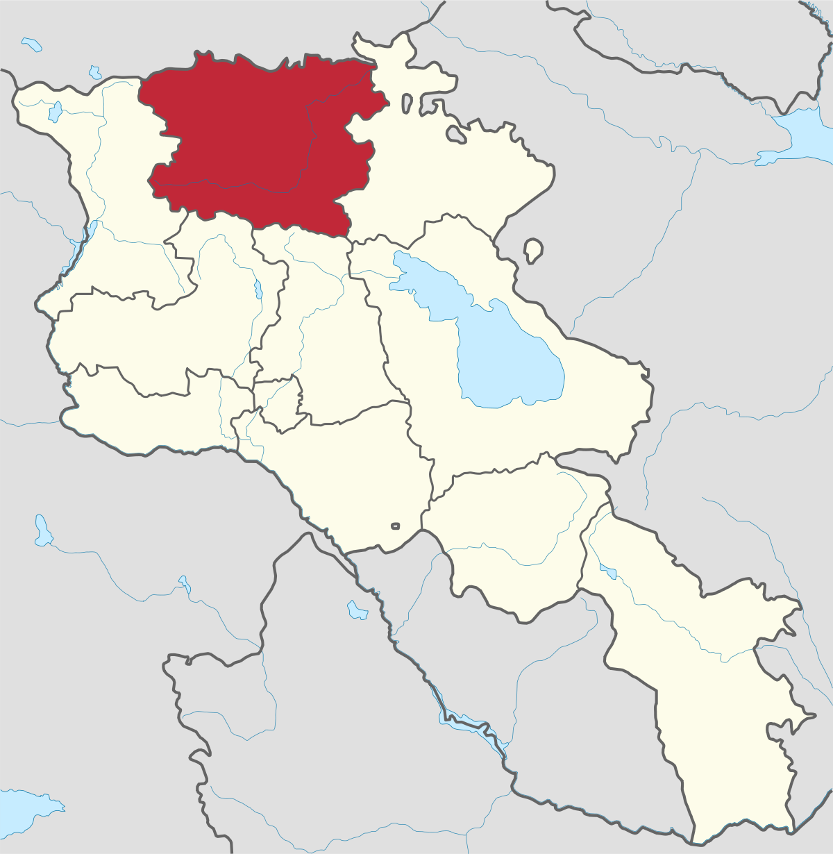
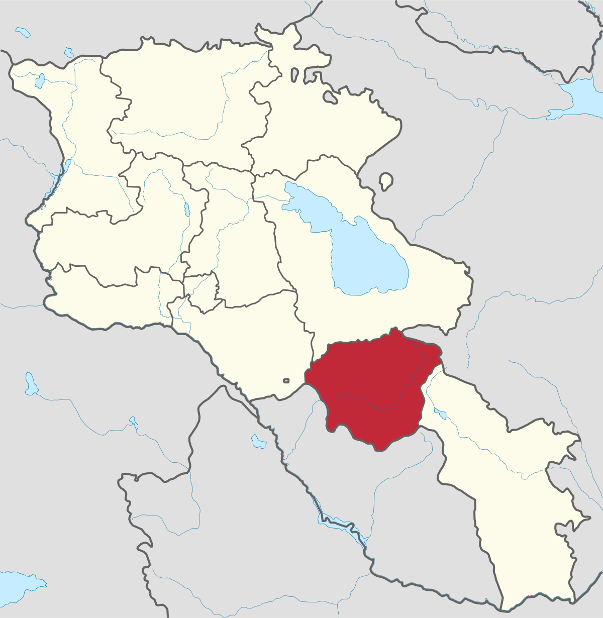
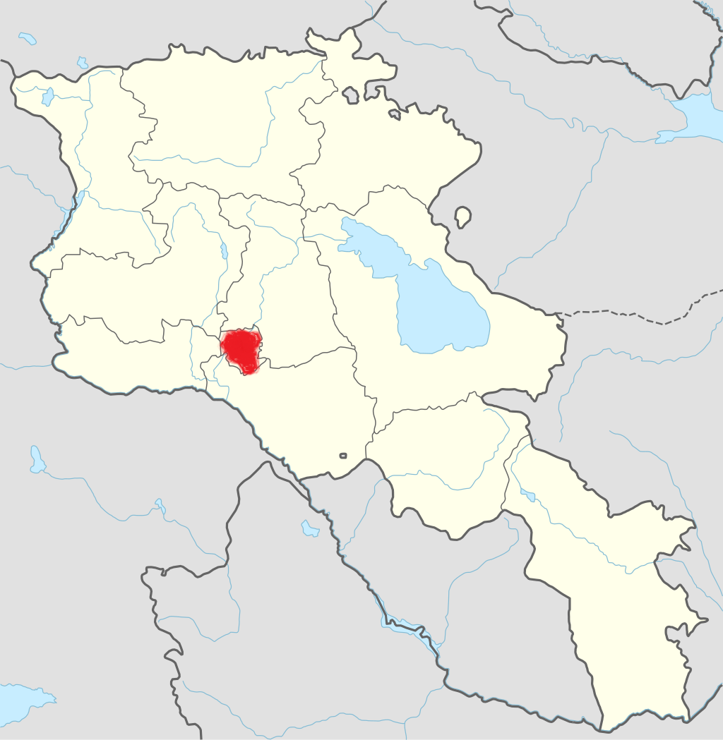
Aragatsotn Region
Aragatsotn is named after the massive mountain (4095m / 13,435 ft.) that hovers over the northern reaches of Armenia. This region is one of the...
Mount Aragats
The region Aragatsotn is dominated by Mt. Aragats, a dormant strato-volcano and the tallest mountain in the country. There are four summits: North (the highest, 4090m), West (4080m), South (3879m) and East (3916m) forming the jagged edge of the volcanic crater, once a massive cone which blew itself open about 500,000 years ago, just as the first settlers began to inhabit the area. Pictograms found on the mountainside allude to this catastrophic event, which ended an era of warm moist climate and began the continental weather patterns Armenia has today.
From the top of the mountain you can see Mount Ararat, most of the Lesser and Great Caucasus Range, even as far as Mt. Elbrus, Europe’s tallest mountain at 5642m.
Pagan and early Christian shrines
The mountain top has several “hidden” pagan and early Christian shrines, hardly surprising given it was considered a cauldron of the gods, its brooding cone generating storms and fair weather several times a day. Now called “Armenia’s weather maker”, the mountain was worshipped by eons of pagans who only tentatively traded their belief in the all-powerful gods of Vahagn, Astghik and Aramazd for the Christian trinity in the 4th c. To this day pagan symbols and sacrifices abound on the mountain side, next to or within Christian shrines.
Legend
One legend that descends from the Pagan period— especially if the legend of the all-burning light of the Zoroastrian religion is applied—concerns S. Grigor Lusavorich, who converted the King T’rdat III to Christianity in the 4th c. In this legend, Grigor climbed to the top of Aragats to pray, an all-burning lamp hanging from the sky lighting his way down the mountain at night. Probably predating even the Zoroastrians, legends of night lights on mountains, (especially volcanic mountains) are easy enough to trace. The legend continues that the light still burns, seen only by those who are consecrated (i.e. the true believers).

Aragatsotn is named after the massive mountain (4095m / 13,435 ft.) that hovers over the northern reaches of Armenia. This region is one of the...
Ararat region is named after the biblical Mount Ararat which is mentioned in the Bible as a place where Noah’s ark has landed after the Great...
.png)
Armavir Region - Because of its Christian history the region is most famous for locals and Diaspora Armenians, who make pilgrimages to Armenia to...
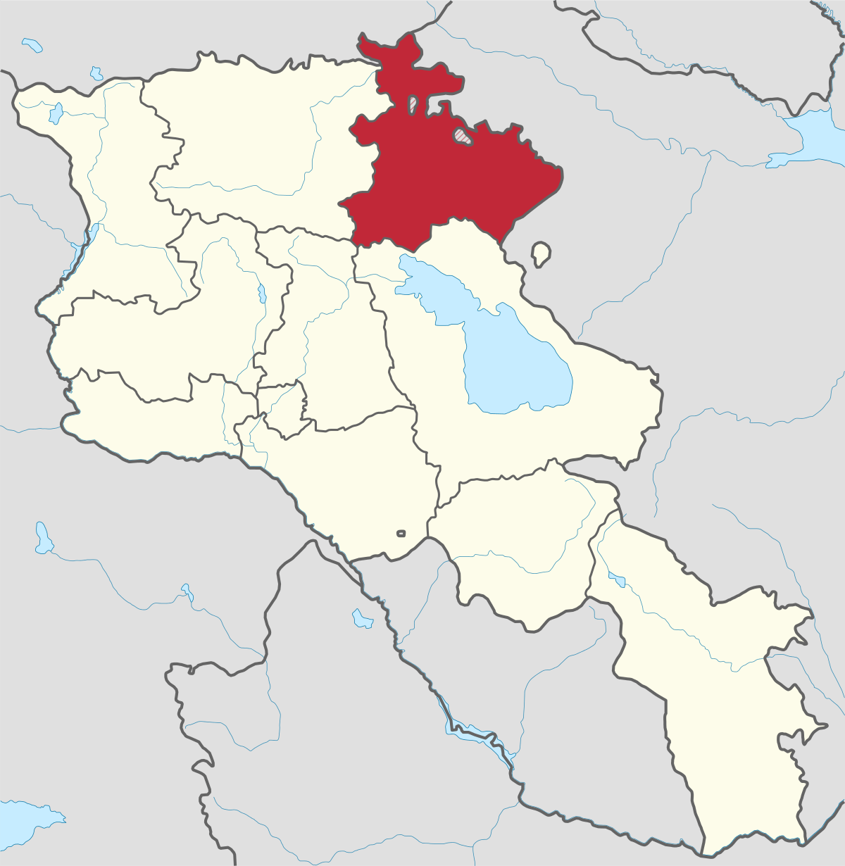
Gegharkunik ist die größte Region Armeniens, die an Aserbaidschan und die Shahumyan-Region der Republik Berg-Karabach grenzt. Ein Viertel der...
Kotayk region is located at the central part of the country and is home to many must-see sites in Armenia including the pagan Temple of Garni...
Lori region is in the northern part of Armenia, bordering on Georgia. It is considered Armenia’s greenest area, with more native forest land than...
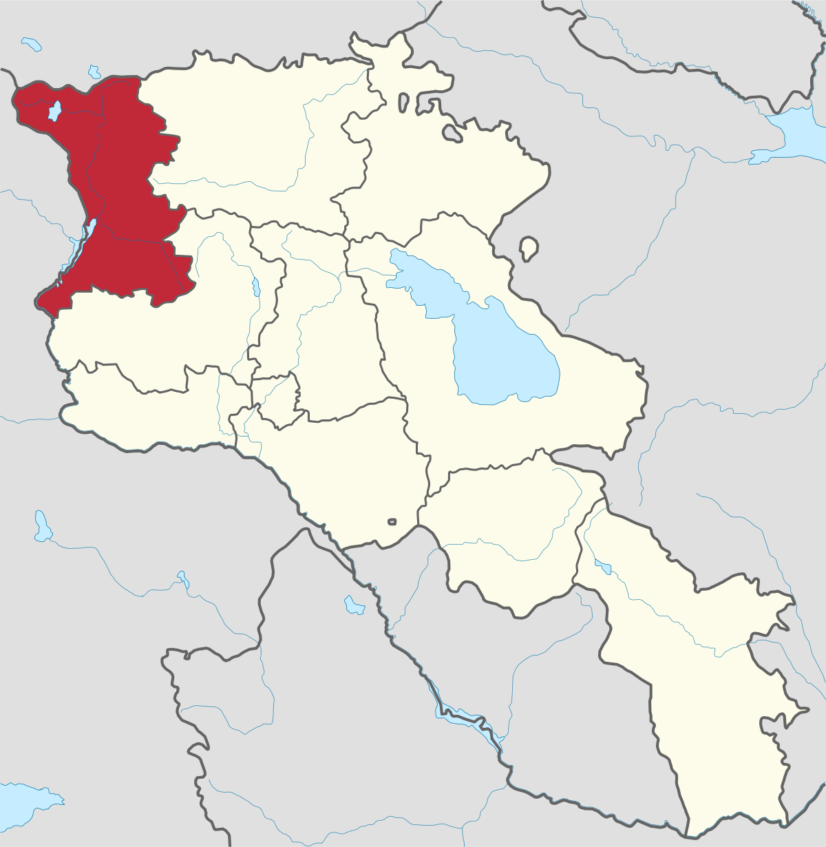
Shirak region lies in the north-west of Armenia. It borders with Georgia and Turkey. Shirak region is mainly dominated by the Ashotsk Plateau and...
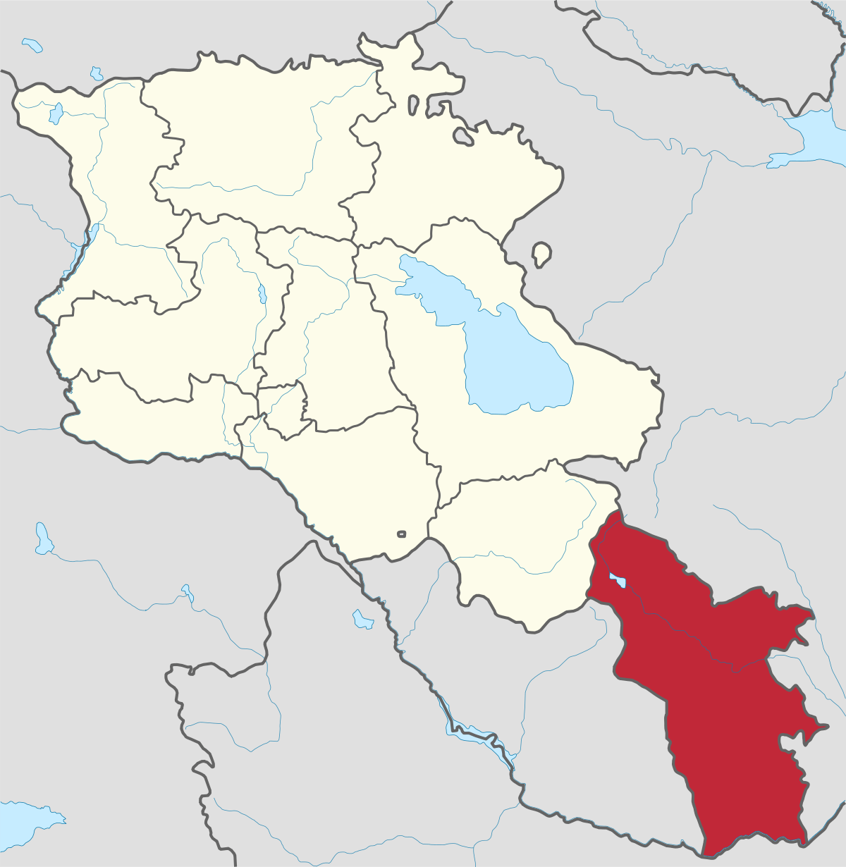
Syunik region- It is in the southern part of Armenia, bordering by Azerbaijan's Nakhchivan Autonomous Republic exclave, the de facto independent...
Tavush region lies in the Northeast of Armenia, bordering by Georgia and Azerbaijan. The territory is mainly mountainous and rocky hillsides...
Vayots Dzor region is mainly a mountainous region at the southeastern end of the country, known with Jermuk Waterfall, Areni cave, Smbataberd...
Yerevan city – 2800 years old. Yerevan is the capital of the Republic of Armenia with more than 1 million people. It is an amazing city with view...
800
149
1476
32